A mobile index for architecture and urbanism
Corpus is an initiative aiming to build a free and independent mobile tool for Architects, urban planner and landscape architects to discover in depth their own city or the cities of their European counterparts from both contemporary and historical perspectives.

A theme based structure
To ensure objectivity and avoid commercial bias, Corpus focuses on gathering knowledge around multidisciplinary themes significant to the city. Given the spatial nature of our practices, Its primary medium is an interactive map that organizes and overlays information.
Introduction :
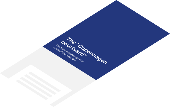
Thoroughly examines the theme topic via detailed explanations that are supported by diagrams, historical photos, and other visuals.
Curated projects :
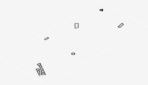
A selection of projects, both built and unbuilt, that best illustrate the theme. Each of them comes with building cards containing data, plans, and in-depth explanations.
Thematic cartography :
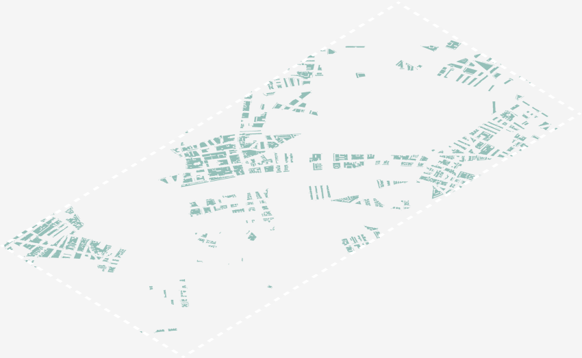
An overlay of GIS data coming as a support in the explanation of the theme topic.
Base map :
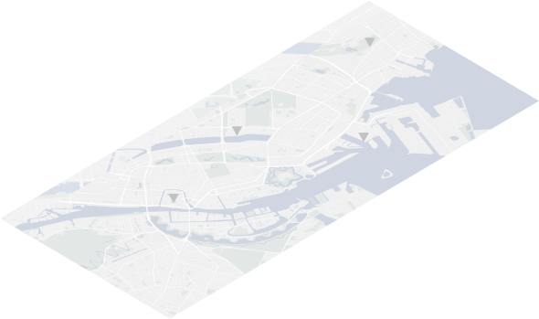
A simple interactive map offering user location and other tools.
Current cities available
Here are the current cities that are available in the app. Some of them already include fully developed themes, all of them already include a geolocated selection of projects
Corpus on medium
If you're not an iOS user, you can visit our Medium page to read some of the introductions. You can also follow us on Instagram for news and content updates.
Loading articles...